Start as Rain and End as Snow this Weekend
The Berkshire forecast is calling for rain and drizzle overnight tonight and turning to snow tomorrow. Right currently we are expecting 1 to 2 inches but if the weather pattern shifts it could leave more snow, especially in higher elevations.
Sunday we are expecting some gradual clearing with a high in the upper 40s. Click below for the complete long-range forecast for Berkshire County.
The complete weekend forecast is below…
Today
Isolated showers. Mostly cloudy, with a high near 47. Southwest wind 7 to 9 mph. Chance of precipitation is 20%.
Tonight
A slight chance of rain showers before 3am, then a chance of rain and snow showers. Mostly cloudy, with a low around 35. Southwest wind 5 to 7 mph becoming calm after midnight. Chance of precipitation is 30%. Little or no snow accumulation expected.
Saturday
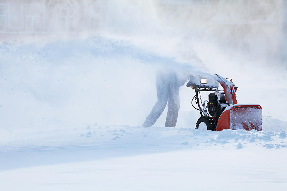
Rain and snow likely, becoming all snow after 2pm. Cloudy, with a high near 39. Light and variable wind becoming northwest 10 to 15 mph in the morning. Winds could gust as high as 26 mph. Chance of precipitation is 60%. New snow accumulation of less than one inch possible.
Saturday Night
A chance of snow, mainly before midnight. Mostly cloudy, with a low around 26. Northwest wind 14 to 16 mph, with gusts as high as 29 mph. Chance of precipitation is 50%. New snow accumulation of less than one inch possible.
Sunday
Mostly sunny, with a high near 34. Northwest wind 11 to 14 mph.
Sunday Night
Partly cloudy, with a low around 20.
Monday
Mostly sunny, with a high near 34.
Monday Night
Mostly cloudy, with a low around 20.
Tuesday
Mostly sunny, with a high near 34.
Tuesday Night
Partly cloudy, with a low around 20.
Wednesday
Partly sunny, with a high near 39.
Wednesday Night
Mostly cloudy, with a low around 28.
Thursday
Partly sunny, with a high near 43.

See the Must-Drive Roads in Every State
More From WNAW AM