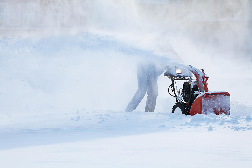
Snow in the Berkshires Overnight Tonight into Friday Afternoon
The National Weather Service has posted a “Winter Weather Advisory” for the overnight tonight to noon tomorrow. According to the NWS, the Berkshires can expect snow in the overnight hours Friday through early afternoon on Friday. The predicted snowfall is between 1-2 inches from the overnight snow and an additional 1 to 2 inches through early Friday afternoon.
With the weekend on the way, the NWS is predicting a nice day on Saturday and more snow, sleet, rain on Sunday. The complete National Weather Service forecast is below.
Today
Cloudy, then gradually becoming mostly sunny, with a high near 30. West wind 10 to 15 mph, with gusts as high as 26 mph.
Tonight
Snow likely, mainly after 3am. Mostly cloudy, with a low around 20. West wind around 6 mph becoming calm in the evening. Chance of precipitation is 70%. New snow accumulation of 1 to 2 inches possible.
Friday
Snow likely before 1pm, then isolated snow showers between 1pm and 2pm. Cloudy, with a high near 28. Light north wind becoming northwest 11 to 16 mph in the morning. Winds could gust as high as 28 mph. Chance of precipitation is 70%. New snow accumulation of 1 to 2 inches possible.
Friday Night
Mostly cloudy, then gradually becoming mostly clear, with a low around 10. Wind chill values as low as zero. Northwest wind 10 to 15 mph, with gusts as high as 25 mph.
Saturday
Sunny, with a high near 25. Northwest wind 3 to 8 mph.
Saturday Night
A slight chance of snow after 2am. Partly cloudy, with a low around 15. Chance of precipitation is 20%.
Sunday
Snow before 11am, then snow and sleet between 11am and 2pm, then rain, snow, and sleet after 2pm. High near 35. Chance of precipitation is 80%.
Sunday Night
Rain and snow showers before 8pm, then a chance of snow showers between 8pm and 2am. Low around 19. Chance of precipitation is 80%.
Monday
Partly sunny, with a high near 25.
Monday Night
Mostly cloudy, with a low around 3.
Tuesday
Mostly sunny, with a high near 14.
Tuesday Night
Partly cloudy, with a low around 3.
Wednesday
Partly sunny, with a high near 23.
TIPS: Here's how you can prepare for power outages
LOOK: The most expensive weather and climate disasters in recent decades
Gallery Credit: KATELYN LEBOFF
More From WNAW AM