

The National Oceanic and Atmospheric Administration (NOAA) offers data on projected sea level rises in the coming decades as climate change persists.
This new tool forecasts the impact of rising sea levels on the coastline. It indicates that, similar to many regions along the eastern seaboard, communities near the Atlantic Ocean's tributaries and the adjacent land in New York could become submerged in the coming decades.
Let's hope none of us will be alive if this happens.
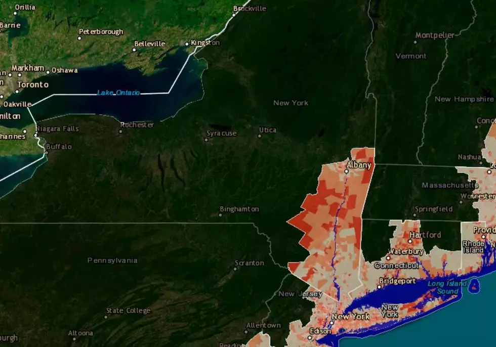
Projections for the year 2100
The Sea Level Rise Viewer by NOAA offers projections of sea level rise over the next decades, from best to worst case, extending through 2100.
By 2100, sea-level rise in Montauk, New York, could reach 2.49 feet in the best-case scenario and 6.66 feet in the worst-case scenario.
"“Increased carbon emissions are increasing atmospheric and ocean heating that is melting land-based ice sheets and glaciers and causing thermal expansion of the ocean resulting in coastal sea level rise along most U.S. coastlines,” - NOAA oceanographer William Sweet
We encourage you to try this tool yourself. Start by entering your address or town. Once the map zooms in on your location, you can access more detailed sea-level rise information and view real examples of local infrastructure, like major roads and signs.
Read More: Projected Population Declines In Massachusetts: What To Expect

You can use a slider to view water levels at different points, with a maximum rise of 10 feet. This option is accessible on all tabs except the High Tide Flooding tab. Future water level increases up to 2100 can be estimated using local scenarios, with four options: Intermediate High, Intermediate Low, Intermediate, and High. Each scenario provides different outcomes based on expected severity.
Peacock TV Series 'Poker Face' Was Filmed In New York State
Gallery Credit: Karolyi
These Presidents and First Ladies Were Born in Upstate New York
Gallery Credit: Chuck D'Imperio
More From WNAW AM


