Winter Weather Advisory In Effect…How Much Snow Expected in the Berkshires?
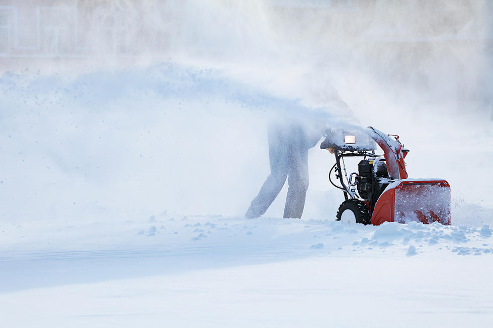
The National Weather Service has posted a “Winter Weather Advisory” in effect until noontime today. According to the NWS the Berkshires can expect snow to accumulate 2 to 6 inches before the snow comes to an end early this afternoon. The advisory warns of slippery road conditions and poor visibility affecting this morning's commute.
With the weekend on the way, the NWS is predicting a nice day on Saturday and more snow, sleet, rain on Sunday. The complete National Weather Service forecast is below.
Friday
Snow before 1pm, then a slight chance of snow showers between 1pm and 3pm. High near 28. Light northwest wind increasing to 10 to 15 mph in the morning. Winds could gust as high as 26 mph. Chance of precipitation is 80%. New snow accumulation of less than one inch possible.
Friday Night
Mostly cloudy, then gradually becoming mostly clear, with a low around 10. Wind chill values as low as -1. West wind 8 to 14 mph, with gusts as high as 25 mph.
Saturday
Sunny, with a high near 24. Wind chill values as low as -1. Northwest wind around 6 mph becoming calm in the afternoon.
Saturday Night
Partly cloudy, with a low around 16. Calm wind becoming south 5 to 7 mph after midnight. Winds could gust as high as 21 mph.
Sunday
Freezing rain likely before 1pm, then a chance of snow and sleet between 1pm and 4pm, then a chance of rain and snow after 4pm. Cloudy, with a high near 32. Chance of precipitation is 70%. New precipitation amounts between a tenth and quarter of an inch possible.
Sunday Night
A chance of rain and snow showers before 7pm, then a chance of snow showers between 7pm and 1am. Mostly cloudy, with a low around 19. Chance of precipitation is 40%.
Monday
Partly sunny, with a high near 24.
Monday Night
Mostly cloudy, with a low around 1.
Tuesday
Mostly sunny and cold, with a high near 8.
Tuesday Night
Partly cloudy, with a low around -2.
Wednesday
Mostly cloudy, with a high near 23.
Wednesday Night
Mostly cloudy, with a low around 18.
Thursday
Mostly cloudy, with a high near 33.
TIPS: Here's how you can prepare for power outages
LOOK: The most expensive weather and climate disasters in recent decades
Stacker ranked the most expensive climate disasters by the billions since 1980 by the total cost of all damages, adjusted for inflation, based on 2021 data from the National Oceanic and Atmospheric Administration (NOAA). The list starts with Hurricane Sally, which caused $7.3 billion in damages in 2020, and ends with a devastating 2005 hurricane that caused $170 billion in damage and killed at least 1,833 people. Keep reading to discover the 50 of the most expensive climate disasters in recent decades in the U.S.
Gallery Credit: KATELYN LEBOFF
More From WNAW AM