Big Storm Leaving, Big Freeze Coming
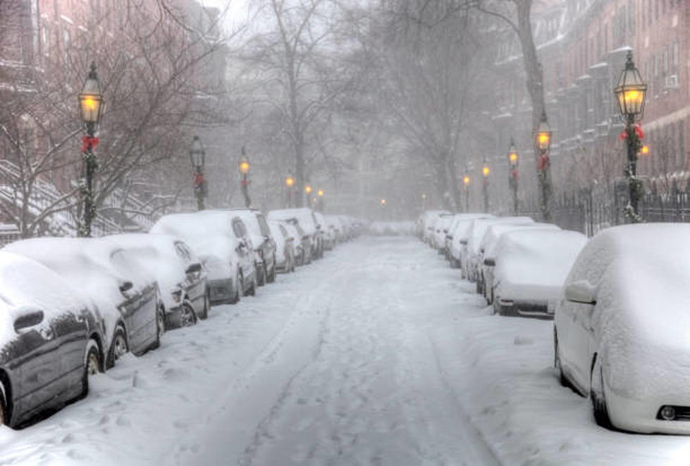
Much of the Berkshires were spared the double-digit snowfall that was predicted for this weekend's storm, thanks to the northern advance of warmer air that helped produce a mix of precipitation.
Sleet and freezing rain bring their own set of problems too, complicating road cleanup efforts. If you need to venture out please use extra caution, since even cleared roads can become slippery due to winds blowing snow back onto them & quickly freezing. For everyone's safety, be sure to clear your car of snow & ice before you start out, and turn on headlights even in daytime.
If you're at home, I'd suggest cleaning up as much as you can as soon as you can because heading into this evening we're in for a windy, deep freeze. Overnight lows will drop below zero and a Wind Chill Warning is in effect from 6 P.M. today to 6 P.M. Monday. The National Weather Service advisory says that wind chills of 25 to 40 below zero are expected as winds will gust to 25 to 40 mph at times today into Monday.The dangerously cold wind chills could cause frostbite on exposed skin in as little as 10 minutes. Take heed and make sure you layer up & bundle up if you plan to head outside. Even on Monday, high temperatures are forecast to stay in the single digits, barely above zero, with extreme wind chills.
More From WNAW AM